
On Memorial Day, 2010. My wife and I paid the $25 to drive up the toll road to the top of Mount Mansfield, the tallest mountain in Vermont. We arrived at 9:45am with the intent to have Kim explore the top and perhaps read a book and enjoy the view, while I hike for three hours finishing up the side trails I have not yet done up top. As we approach the Visitor's Center a Trail Guide asks me my plans and I tell. She tells us I'd better plan on more than three hours to cover all I expect to do. I disregard her.
 I leave Kim in a nice spot near the Long Trail and return to the TV road the find the start of the Amherst Trail. It takes a few minutes but I find it and am off. This trail is 0.3 miles long as is relatively easy. I reach the end and backtrack 0.2 miles track to the start of the Cliff Trail.
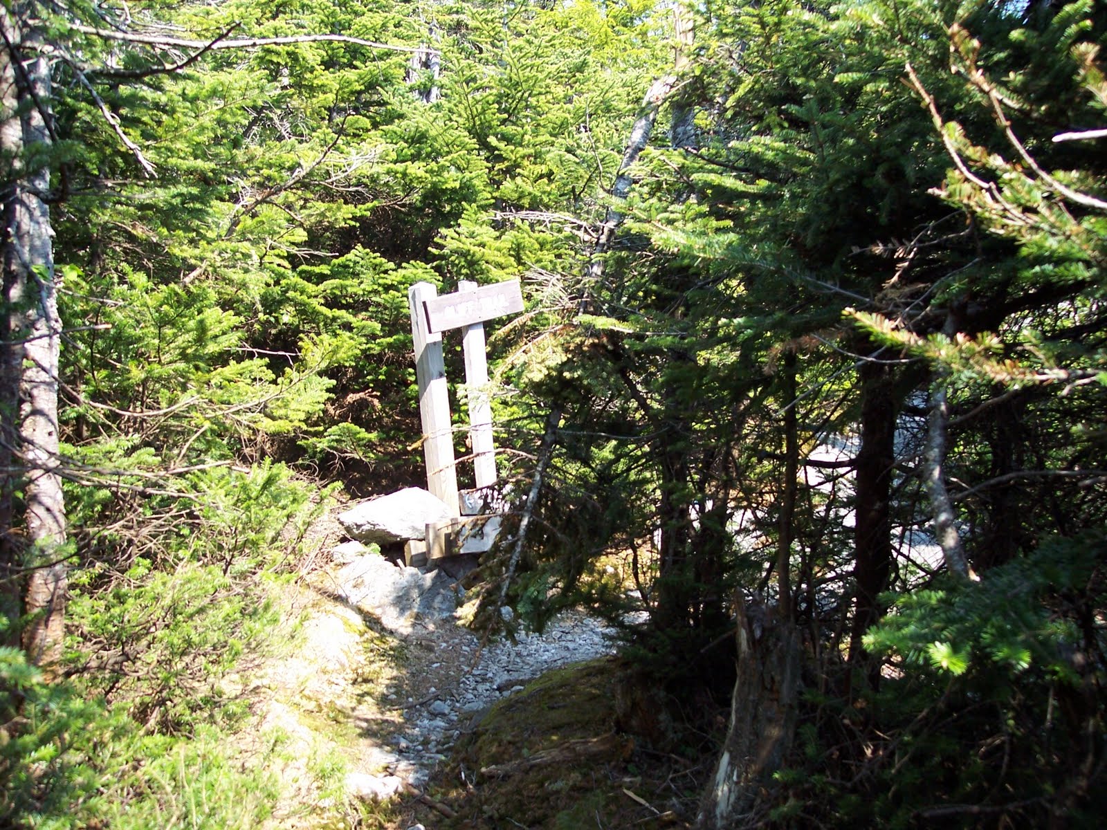
 The Cliff trail is a tough 1.1 miles and the guidebook does not recommend it for backpackers because of the tight crevices you must pass through. It takes me 80 minutes to cover the trail making it the slowest mph I have made on any route to date.
  Along this trail I navigate three ladders and work my way through 3-4 very tight spots, not to mention a number of places where a fall would mean serious trouble.
 I arrive at the LT winded but otherwise in good shape. I now hike 0.2 miles up Mt. Mansfield to the start of the Profanity Trail. I did this trail before but descend it for 0.5 miles to get to the Hell Brook Cutoff Trail. The descent is steep but manageable.
 I Take the Hell Brook Cutoff Trail from just below Taft Lodge on the LT. This trail is 0.7 miles long and ends at the Hell Brook Trail. The path is narrow and there is one spot where I must sit on a wet slippery rock and slide about eight feet laterally to solid ground on the other side. If I slip I will likely slide down the rock for about 10 feet into an area that will be a challenge to climb out of. I do begin to slide downwards, but am able to slide at an angle and not descend to the bottom.
 At Hell Brook Trail I turn up and climb 0.4 miles to the Adam's Apple Trail. along the way I realize the mathematical mistake I made to day. I had totaled up the number of minutes I expected each segment of today's hike to take and calculated it would take 295 minutes. When I stupidly converted this to hours, I came up with 3.0 hours instead of 5.0 hours. thus, I've left Kim on top of the mountain expecting me back two hours before I am going to actually get there. I'm tired and the climbing is tough, but I am a few minutes ahead of my 295 minute estimate at this time.
 I ascend the Adam's Apple Trail 0.2 miles to its intersection with the LT. Along the way I reach Eagle Pass and look backwards to see the beautiful Lake of the Clouds. I soon reach the LT and turn north to descend 0.3 miles back to the intersection of the LT with Profanity trail, thus completing a 1.6 mile loop.
I now face a 0.5 mile climb back up the Profanity trail and I know it will be challenging. My right foot keeps wanting to cramp as I climb, but luckily it doesn't. It takes 32 minutes and four of those are one minute rest stops, but I make it to the top and back to the LT.

 I retrace my LT steps from earlier today for about 0.3 miles until I come to the Subway. The subway is a short 0.3 mile trail that works its way beneath the west side of Mansfield. I'm tired and this makes the route a challenge.
  The photo to the left shows the final pass and climb I take up from the Subway. I return to the LT and continue south.
In short order I reach the Canyon North Extension. As soon as I start down the trail I realize I have hiked it before - last summer.
 Therefore, I return to the LT and work my way the last mile to where Kim is waiting for me in the car. It turns out she was not worried about even though I told her 3 hours and it took 4 hours and 45 minutes.
 This will be my last hike on this mountain. It is a challenging mountains and most of the toughest hikes I have taken have been here.
One more hike and the whole event is finished!
No comments:
Post a Comment